
Copyright: Eifel Tourismus GmbH, Dominik Ketz
Hiking Trails
All Hiking Trails at a Glance
The Vulkaneifel offers a wide selection of hiking trails: from leisurely loop trails to varied multi-day hikes—there’s something here to delight every hiker.
Below, you’ll find our hiking trail finder. It clearly marks all the hiking trails in the Vulkaneifel on a map—so you can quickly see which tour suits your location, your preferred region, or your next outing.
Find Hiking Trails
Discover all the hiking trails in the Vulkaneifel at a glance. Filter by length, difficulty, trail type, and themes to quickly find the right hike for your day trip or vacation.
78 results
Hiking
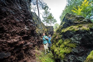
HeimatSpur Wasserfall-Erlebnisroute
Bad BertrichDistance:13.3 km
Duration:4:30 h
Difficulty:Difficult
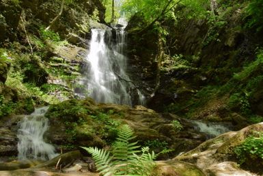
Circular hike (approx. 13 km) in the GesundLand Vulkaneifel from/to Bad Bertrich to the Klidinger waterfall. Germany's most beautiful hiking trail 2023
Hiking
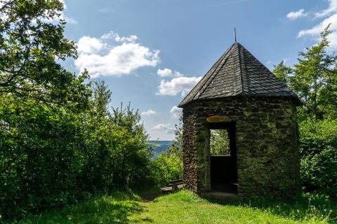
HeimatSpur Weiherbachtal
LutzerathDistance:8.0 km
Duration:1:50 h
Difficulty:Easy
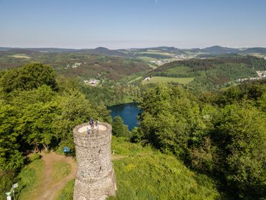
Short circular route through the valley of the Weiherbach and Erdenbach streams to a hill with a fantastic view of Lutzerath, the Volcanic Eifel and beyond the heights of the Moselle.
Hiking
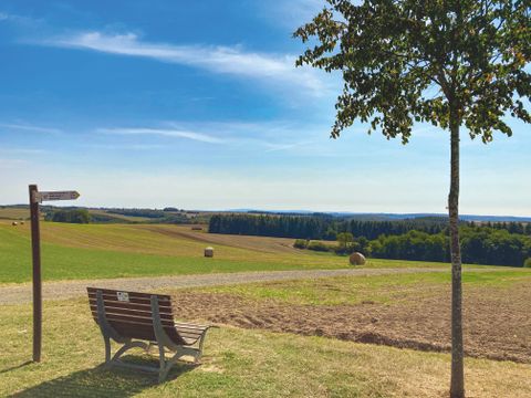
HeimatSpur Wendelinusweg
ImmerathDistance:11.6 km
Duration:3:30 h
Difficulty:Easy
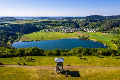
Circular hike (approx. 11 km) through the Vulkaneifel around Immerath to the Immerather Maar

Hiking
HeimatSpur Zwei-Täler-Weg
LutzerathDistance:14.0 km
Duration:3:45 h
Difficulty:Medium
The 15 km long "Two Valleys Trail" leads through the two idyllic valleys of Erdenbach and Litzbach around the idyllic village of Lutzerath with Driesch.
Hiking
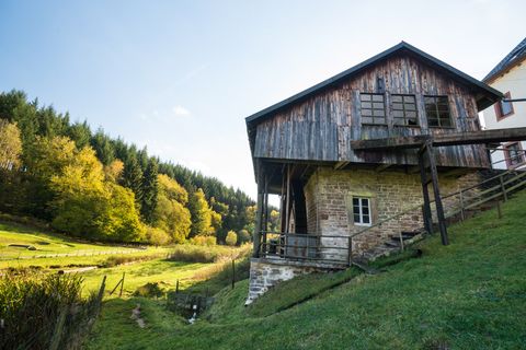
Hinterbüsch Trail
ÜdersdorfDistance:34.1 km
Duration:11:00 h
Difficulty:Difficult
Üdersdorfer Mühle - Weidenbach - Meerfeld
Hiking
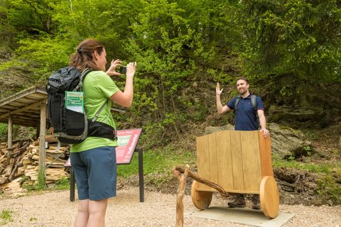
Hochkelberg Panorama Trail
ÜxheimDistance:41.0 km
Duration:13:00 h
Difficulty:Difficult
Nohner Mühle - Kelberg - Ulmen
Hiking
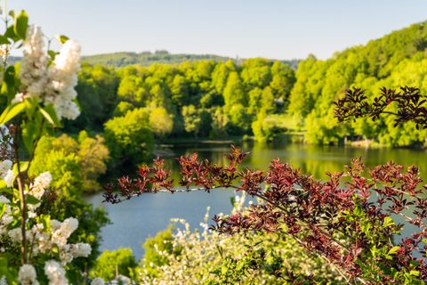
Im Tal der Wilden Endert
UlmenDistance:21.0 km
Duration:5:45 h
Difficulty:Difficult
Deutschlands Schönster Wanderweg 2019 - Platz 1! Zum 16. Mal hat das Wandermagazin den schönsten Wanderweg Deutschlands gekürt. Der Weg "Im Tal der Wilden Endert" hat gewonnen!
Hiking
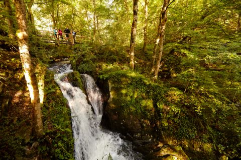
Im Tal der Wilden Endert
UlmenDistance:21.4 km
Duration:4:48 h
Difficulty:Medium
A hike through the wild and romantic Wilde Endert valley (from Ulmen to Cochem) offers a unique and pristine natural experience.
Hiking
Karolingerweg (15) – 2. Etappe
UlmenDistance:16.3 km
Duration:4:30 h
Difficulty:Medium
Dieser Hauptwanderweg (HWW) verbindet die Mosel von Cochem aus durch das wildromantische Enderttal mit der zentralen Vulkaneifel, geht über Ulmen und Daun zum Nerother Kopf, überquert in Mürlenbach das Kylltal und führt durch prächtige Wälder zur berühmten Abteistadt Prüm im Tal der Prüm.
Hiking
Lieserpfad Etappe 2
DaunDistance:18.3 km
Duration:5:10 h
Difficulty:Medium
The Lieserpfad hiking trail stage 2 leads from Daun to Manderscheid