

HeimatSpuren "Traces of Home"
The Most Popular Circular Hiking Trails in the Vulkaneifel
HeimatSpuren in the Vulkaneifel—Where Your Hiking Heart Truly Beats
HeimatSpuren consists of 43 circular hiking trails around Daun, Manderscheid, Bad Bertrich, and Ulmen in the Vulkaneifel. The trails range from 2 to 29 km and are suitable for all fitness levels—from easy family trails to long day hikes.
The trails wind through one of Germany’s most geologically extraordinary regions: past maars, mineral springs, juniper heaths, and idyllic villages.
Award-Winning HeimatSpur
The HeimatSpur Waterfall Adventure Trail near Bad Bertrich, featuring the 28-meter-high Klidinger Waterfall, was named Germany’s most beautiful hiking trail by Wandermagazin in 2023.
The “HeimatSpur MaareGlück” trail around the Dauner Maare was named Germany’s second-most beautiful hiking trail by Wandermagazin in 2026.
Home is where the hiker’s heart beats.
HeimatSpuren "Traces of Home"
Tip: In map view, you can see the route by clicking on the location icon!
45 results
Hiking
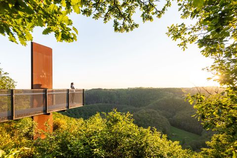
HeimatSpur Erlebnisweg Achterhöhe
LutzerathDistance:5.5 km
Duration:1:30 h
Difficulty:Easy
Circular hike near Lutzerath in GesundLand Vulkaneifel to the Achter Höhe viewing platform

Hiking
HeimatSpur Ernstberg-Panoramaweg
HinterweilerDistance:10.2 km
Duration:2:23 h
Difficulty:Medium
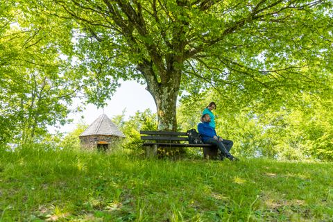
Discover spectacular views and experience nature with rugged basalt and lava rocks as well as ancient beech forests. The flowering of the lunar violets is particularly impressive in May and June.
Hiking
HeimatSpur Geo-Route
Bad BertrichDistance:6.6 km
Duration:2:00 h
Difficulty:Medium
Experience the geological diversity around Bad Bertrich on this 7 km circular hike. From the start at GesundLand Tourist Information, the trail leads over the Palmberg to Viktoriahöhe and on to Ruflay. Past the "Oasis of Peace" and the volcanic Maischquelle spring.
Hiking
HeimatSpur Große Ulmener Acht
UlmenDistance:14.6 km
Duration:3:50 h
Difficulty:Easy
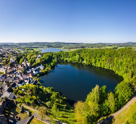
The pristine landscape of the Volcanic Eifel, deep forests, green stream valleys and the Ulmener Maar await you on the Great Eight - a section of the Ulmener Acht.
Hiking
HeimatSpur Großer Dauner
DaunDistance:28.9 km
Difficulty:Difficult
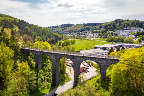
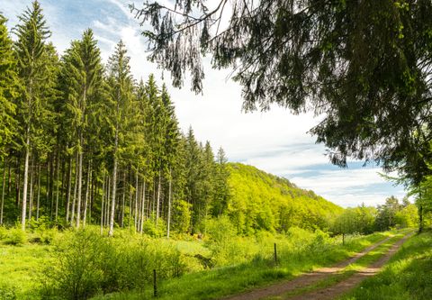
The Großer Dauner home trail leads through the countryside around the town of Daun and along the maars. It can be walked in countless variations via the Vulkaneifel trails and the Eifelsteig.
Hiking
HeimatSpur Keltenrundweg
SteinebergDistance:15.9 km
Duration:4:00 h
Difficulty:Easy
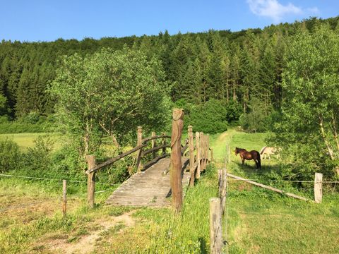
Follow in the footsteps of the Celts around Steineberg and Demerath.
Hiking
HeimatSpur Kleelandrunde
SarmersbachDistance:12.3 km
Duration:2:42 h
Difficulty:Medium
A varied circular hiking trail around Sarmersbach, Nerdlen & Daun-Rengen. Not only the "Kleeland", but also breathtaking panoramas and secluded spots adorn the trail.
Hiking
HeimatSpur Kleine Ulmener Acht
UlmenDistance:6.2 km
Duration:1:30 h
Difficulty:Easy
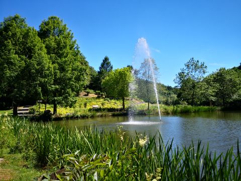
The pristine landscape of the Volcanic Eifel, deep forests, green stream valleys and the Jungferweiher nature reserve await you on the Kleine Acht - a section of the Ulmener Acht.
Hiking
HeimatSpur Kleiner Dauner
DaunDistance:8.4 km
Difficulty:Easy
The short loop around Daun connects the town, its neighborhoods, and green areas into a varied tour within a small radius.

Hiking
HeimatSpur Kraterseen Mosenberg
BettenfeldDistance:5.0 km
Duration:1:30 h
Difficulty:Easy
Short hike with special geological highlights such as the only crater lake north of the Alps
Frequently Asked Questions About HeimatSpuren
The HeimatSpuren are 43 circular hiking trails in the GesundLand Vulkaneifel (Eifel/Rhineland-Palatinate). They wind their way through the region’s most beautiful towns—taking hikers through nature, history, and culture.
The trails range from 2 to 29 kilometers—there's something for every fitness level: from a leisurely family walk to a long day hike.
Yes! Many trails are specifically family-friendly and very easy for children to walk—for example, the HeimatSpur Elfengrotte walking trail near Bad Bertrich.
Just filter by the criteria “family-friendly” or “stroller-friendly.”
Dogs love the trails—and we love dogs! What do we love less? Their little “markings.” Please pick up after your dog and take the waste with you. Thank you—also on behalf of everyone else’s hiking boots.
The HeimatSpur Waterfall Adventure Trail near Bad Bertrich was named Germany’s most beautiful hiking trail by *Wandermagazin* in 2023—with the Eifel’s tallest waterfall (28 m) as its highlight.
The HeimatSpuren brochure, featuring all 43 routes, maps, elevation profiles, and a bucket list to check off, is available at our tourist information offices (nominal fee of €3) or online. To go with it, there’s also the easy-to-read HeimatSpuren map, also for €3.
Our tip: Get the brochure and map as a set for just €4—the perfect companion for your next hike!
All HeimatSpuren trails are officially marked according to Rhineland-Palatinate’s trail guidelines and can be accessed via popular hiking apps such as Komoot or Outdooractive.
Tip: Look for the specific HeimatSpur trail logo—you’ll find a photo of it right next to each route description. That way, you’ll be able to recognize your trail right away while you’re out and about.